For the better part of a decade, I’ve lived in South Louisiana, which is experiencing coastal erosion and sea level rise faster than almost anywhere else in the country. I became interested in depicting these changes to the landscape without the “disaster imagery” that typically accompanies stories about the climate crisis. A lot of my work now focuses on the relationship between architecture and climate change, and the ways that built environments symbolize larger societal challenges.
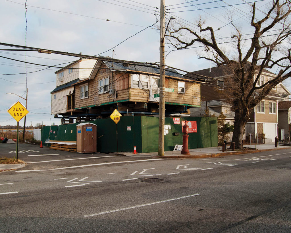
This image is from “The Islands,” a project that I’ve been working on since 2018. It examines the various ways that New York’s five boroughs are adapting to climate change and the role that climate policy can play in determining the city’s future. I want to explore New York’s relationship with water and why certain communities, and not others, are protected from rising sea levels and receive investment in hard infrastructure. For example, Broad Channel, the Queens neighborhood where this photograph was taken, goes directly through Jamaica Bay and connects The Rockaways to the rest of Queens. The community was heavily damaged during Hurricane Sandy and has taken years to recover, with only some residents able to elevate their homes above sea level.
I hope that my work prompts people to consider the ways that invisible policies like flood insurance—who can afford it, for instance, or where it is available—along with the uneven rollout of federal disaster relief funds affect the urban fabric of New York and coastal cities around the country.

