Louisiana’s Vanishing Act
How scientists are measuring the sinking of Mississippi’s delta
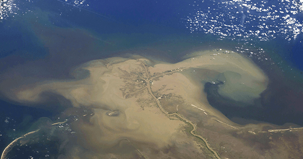
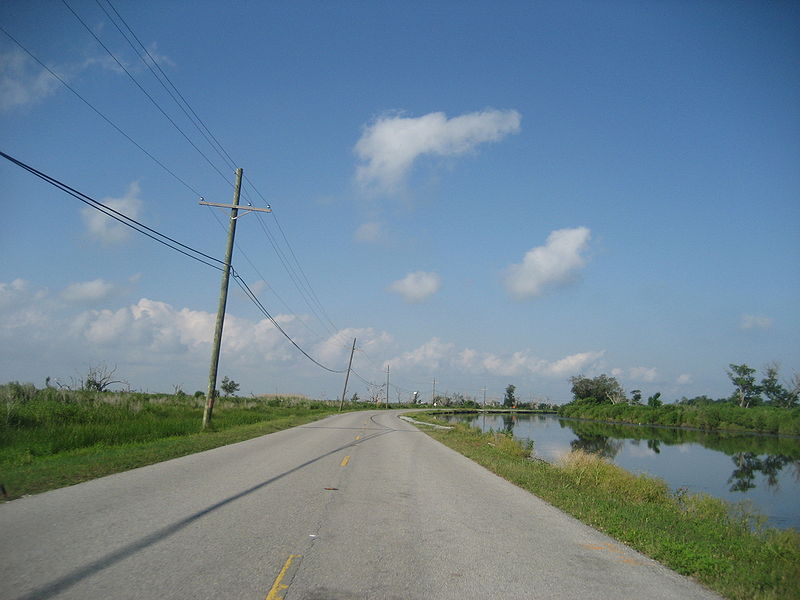
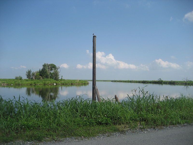
Since the 1930s, Louisiana has lost an amount of land roughly equivalent to the size of Delaware. Today a football field–sized area of wetlands disappears almost every hour. Levees and dams, built over the past century to control floods, have prevented essential sediment from trickling downstream to replenish Mississippi Delta land. The combination of sinking land and rising sea level is causing delta terrain to drown at an alarming rate.
This year, a team led by geophysicist Michael Steckler of Columbia University’s Lamont-Doherty Lab drilled three wells in Port Sulphur, Louisiana, about 30 miles south of New Orleans, outfitting them with optical-fiber instruments and GPS to track shifts in the delta. “We are currently recording at 20 samples per second,” Steckler reports. His team also will take a 40-meter-deep core of sediment and look for signs of recent compaction. The data they gather in upcoming years will allow scientists to better predict consequences of the sinking delta that extend far beyond lost acreage.
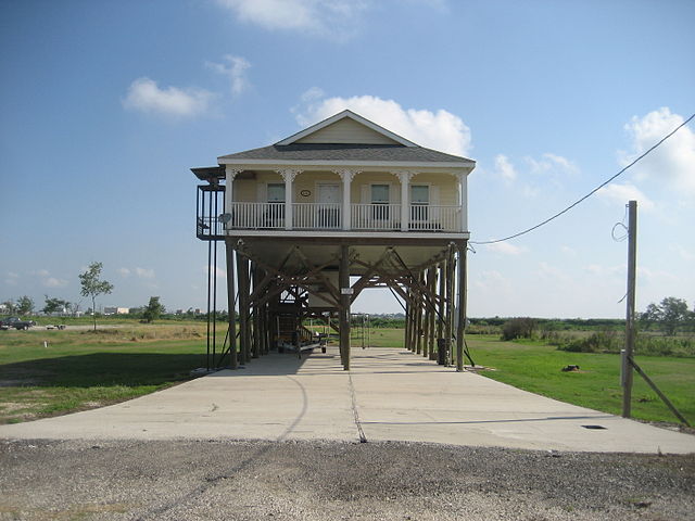
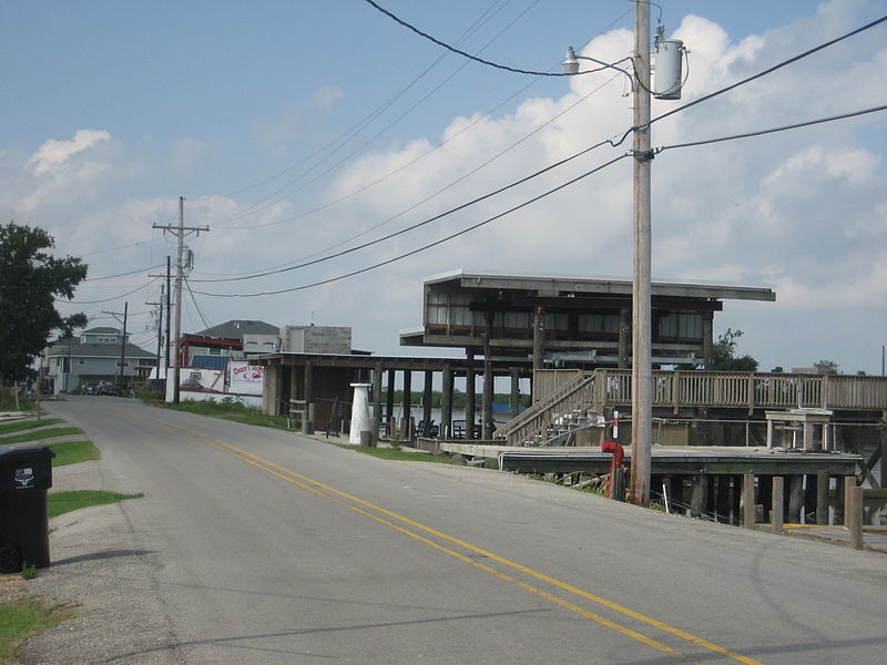
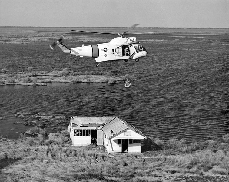
The region, already devastated by Hurricane Katrina and the BP oil spill, is now even more vulnerable to natural disasters, such as August’s floods. Towns are being wiped out: Delacroix, 20 miles southwest of New Orleans, has dropped from 700 residents to 15. In the next century we could see the disappearance of the homes of two million people, a vital port, and the site of half the country’s oil refineries.
The Mississippi’s delta isn’t the only one sinking. Steckler and his team studied the Ganges River Delta—the world’s largest—five years ago. The results from the Mississippi wells will be much more precise than the Ganges data, he says, since new technology allows for continuous monitoring to a micron of accuracy. Steckler anticipates higher subsidence rates in Louisiana because of its complicated built infrastructure.

