
Martin Doyle is a professor of river science and policy at Duke University. His new book, The Source: How Rivers Made America and America Remade Its Rivers, documents the complex history of our nation’s waterways, taking into consideration such subjects as politics, ecology, and economics. We asked him to pose six questions on the future of rivers.
1. America’s critical infrastructure—TVA dams, Bureau of Reclamation canals, Corps of Engineers levees—was built in an era of active federal agencies with robust budgets. We’re now moving in the opposite fiscal and ideological direction, when budgets are contracted and federal agencies look for ways to divest their infrastructure responsibilities. Will state and municipal governments be on their own to manage rivers if the feds continue to step away?
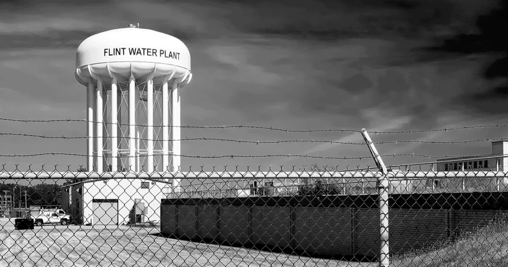
2. Much of our local infrastructure—pipes, sewer lines, and treatment plants—is geriatric, poorly maintained, out of date, and in need of massive infusions of capital. The problem is particularly acute in depopulating or stagnating cities, which have declining tax bases to pay for basic water services; the crisis in Flint, Michigan, came about when a city with a declining population began looking for ways to save money. This conundrum permeates the Rust Belt of the upper Midwest, along with small towns throughout rural America. How many Flints are there? What will happen to their water utility systems? Who will help them past this crisis?
3. At the same time, there is enormous growth in private capital—all our 401(k)s need long-term investments. Private investors are increasingly interested in water as its own asset class. What are the benefits and risks of increasingly relying on private capital to finance basic water services?
4. Much as our infrastructure is facing end-of-life decisions, our key environmental regulations are all approaching their golden anniversaries. The National Environmental Policy Act, the Endangered Species Act, and the Clean Water Act were all passed in the early 1970s, a time that saw the earliest developments of the Internet and the first determination of genome sequencing. Since the Endangered Species Act was passed, there have been profound developments in basic species monitoring, such as environmental DNA, as well as new approaches and concepts, for example, conservation genetics. Similarly, real-time water quality sensors and a plethora of water-observing satellites have come into use since passage of the Clean Water Act. How can environmental policy better use this new science and technology to protect our water and ecosystems?
5. In 2011, the Mississippi River experienced record floods; in 2012, a record drought hit the region. Similarly, California has experienced hydrologic whiplash as dramatic droughts are followed by equally dramatic floods, and areas of Houston saw 50 inches of precipitation during Hurricane Harvey—50 inches! Clearly climate change, or at least the full scope of climate variability, will challenge every aspect of river and water management in America. What will mega-droughts and mega-floods of the 21st century look like? Are there cities or entire agricultural regions that cannot withstand recurrent mega-floods and droughts?
6. In 2021, NASA will launch its SWOT mission, which will measure the topography of Earth’s water surface. Other satellites can now measure global groundwater volumes, Great Lakes water quality, and soil moisture on America’s farms. At the local level, work that used to require days in the field and weeks in the lab can be accomplished by a deployed sensor and a cell phone. Tractors are now measuring and streaming water data while they till and plant, and biotechnology is being developed around drought-resistant seed varieties. If the 20th century was characterized by the technology of a green revolution to increase yield per acre, will the 21st be characterized by the technology of a blue revolution of increased “crop per drop”? And will the global agricultural sector adopt crops that are less water-intensive—for example, by moving from rice to pulses?

