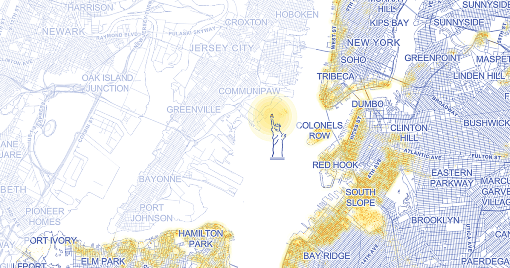
We often hear of the dangers of media and social-media echo chambers—in which our beliefs and opinions are constantly reinforced by our exposure only to like-minded individuals. Echo chambers exist in our physical environment, too—but what would be the benefits of experiencing daily life with people outside our demographic or socioeconomic group, or with people whose level of education varies from our own? Jia Zhang, a graduate student at M.I.T.’s Center for Civic Media and a specialist in data science, believes that if “you spend more time exposed to people who are unlike you, then you are a more balanced person fundamentally, because your worldview is bigger.” Zhang, a resident of New York City, has built an app that correlates location data from a smartphone with demographic information from the user’s U.S. Census tract and Census block group. “I travel every day from where I live to a place with a much higher average income,” Zhang says. “The census data helps me see what I’m missing in my life—for instance, people under five and over 85.”
Zhang is working on an interactive, data-driven atlas that links to population and housing data provided by the American Community Survey (also administered by the Census Bureau). Census data—large-scale, aggregated, and anonymous—are typically used to inform tax collection and government policy, as well as to apportion congressional districts. Zhang’s project uses the information to try to improve individuals’ quality of life. One of the prototype maps in her atlas allows the user to chart a path between any two locations in the United States and to visualize census data corresponding to that trajectory. Another plots “viewshed” data, listing the sites that a person can see in any given location. Yet another allows the user to view satellite images of tracts associated with particular census data points. Where is the highest concentration of people over 85? High-school dropouts? People with advanced degrees? People with no health insurance? The satellite data often provide surprising correlations: “In rich places like Manhattan,” Zhang says, “you see dramatic contrasts in building height, from very high to very low. In poor places, the buildings are all the same height.”
The goal of the atlas, and its suite of digital tools, is to help people better understand both themselves and their environments. “I think a lot of people would want to find a community that shares their values,” Zhang says, “but also where they can be surrounded by a diverse set of values. We can tell them how to do that with census data.”

